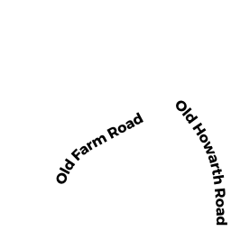
9 HOWARTH RD
Owner Information
STEVEN WANDREI & JOAN W GONG TRUSTEES
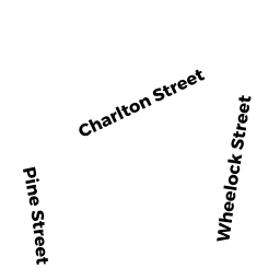
72 CHARLTON STREET
OXFORD, MA 01540


Property Details
9 HOWARTH RD is classified as a Developable Residential Land.
9 HOWARTH RD is valued at $64,500. The land is valued at $64,500 and the structures are valued at $0.
The most recent deed for 9 HOWARTH RD is recorded at the local registrar in Book 93, Page 178. 9 HOWARTH RD was last sold on Friday, May 21, 2021 for $1.
Assessment data from fiscal year 2021.
Flood Data
This property is partially within the AE Zone (within floodplain). Approximately 0.24 acres (37.22%) of the property is within this zone.
A portion of this property is denoted as being within a floodway.
This information is sourced from the FEMA National Flood Hazard Layer. See our full disclamer.
Broadband Internet Providers
| Provider | Type | Bandwidth (mbps) | |
|---|---|---|---|
| Verizon New England Inc. | DSL | 15 | 1 |
| PAETEC Communications, Inc | DSL | 0 | 0 |
| Charter Communications Inc | Cable | 940 | 35 |
| T-Mobile | Fixed Wireless | 25 | 3 |
| Charter Communications Inc | Fiber | 0 | 0 |
| GCI Communication Corp. | Satellite | 0 | 0 |
| HughesNet | Satellite | 25 | 3 |
| VSAT Systems, LLC. | Satellite | 2 | 1 |
| Crown Castle Fiber | Fiber | 0 | 0 |
| Viasat Inc | Satellite | 100 | 3 |
Broadband service provider data from December 2020.